
Upper Hunter Shire Council

Contact details
- Address
- Scone Administration Centre 135 Liverpool Street Scone NSW
- Phone
- 6540 1100
- Website
- Visit Upper Hunter Shire Council
Upper Hunter Shire is located in the Hunter Region of New South Wales, about 250 kilometres north of Sydney. It is bounded by Liverpool Plains Shire and the Tamworth Regional Council area in the north, Mid Coast Council and Dungog Shire in the east, the Singleton Council area and Muswellbrook Shire in the south and the Mid-Western Regional Council area and Warrumbungle Shire in the west.
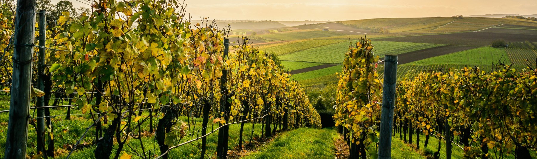
The Upper Hunter Shire is a predominantly rural area and encompasses a total land area of about 8,000 square kilometres, of which a large proportion is National Park and nature reserves. Most of the rural area is used for grazing, dairy farming, horse studs and general farming. The main township is Scone, with smaller townships at Aberdeen, Merriwa and Murrurundi. The Shire is a major cattle, crop, goat, pig, poultry and sheep producer, has an increasing number of vineyards, an abattoir which supplies the Australian and overseas markets, and the best and friendliest rural community within easy travelling distance from Sydney and Newcastle.
The Shire has a vibrant rural community that has been able to develop its own unique character, with Aberdeen host to the annual “Aberdeen Highland Games”; Merriwa in the west being well known for its popular “Festival of the Fleeces”; Murrurundi with one of the largest sheep dog trials in the state and the annual “King of the Ranges Stockman’s Challenge”, and Scone renowned for its thoroughbred horse industry and the long running “Scone & Upper Hunter Horse Festival”.